
Cadastral & Land Surveying
Cadastral and land surveying is the specialized process of measuring,
defining, and legally recording the exact boundaries of real property (land and buildings)
Cadastral and land surveying projects focus on establishing, verifying, defining and managing property boundaries and land parcels using appropriate survey records, field observations and professional surveying methods. These projects support landowners, developers, institutions and other property stakeholders with reliable spatial information for property management, boundary definition, subdivision, amalgamation, mutation and other land-related requirements.
What Cadastral & Land Surveying Projects Cover
Our experience in cadastral and land surveying includes a range of assignments depending on the nature of the property, available survey information and the client’s requirements.
Boundary Surveys & Verification
We undertake boundary surveys to establish and verify the position of property boundaries using available cadastral and survey information together with field observations.
Our work may involve locating existing boundary features, comparing ground conditions with available survey information and identifying areas requiring further investigation or clarification.
Beacon Identification & Re-establishment
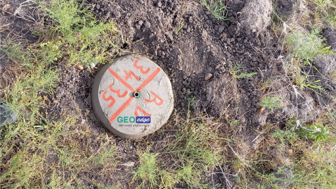
Boundary beacons provide important physical reference points for defining parcels on the ground. Our projects may involve identifying existing beacons, referencing their positions and, where appropriate, re-establishing boundary points in accordance with the relevant survey information and professional requirements.
Subdivision Surveys
We undertake subdivision surveys for landowners and developers seeking to divide an existing parcel into smaller parcels.
Depending on the project, the work may include site reconnaissance, examination of existing survey information, establishment of proposed parcel boundaries, field survey observations, preparation of survey information and coordination of the required surveying procedures.
Amalgamation Surveys
Where adjoining parcels are being consolidated, cadastral surveying may be required to establish the resulting parcel configuration and provide the necessary survey information for the applicable process.
Mutation Surveys
We undertake surveying work associated with land parcel changes and mutations, subject to the applicable requirements and approval procedures.
Parcel Verification
Our parcel verification projects involve examining available survey information and assessing the relationship between the documented parcel and its position on the ground.
This can be particularly useful where landowners require greater clarity about parcel location, dimensions, boundaries or existing survey information.
Boundary Dispute Surveys
Where questions arise concerning the position of a property boundary, professional surveying can provide technical information to assist in understanding the boundary position.
Our role is to establish and present the relevant surveying information within our professional scope. Where a matter becomes a legal dispute, clients may also require appropriate legal advice.
Land Survey Searches & Record Investigations
Our cadastral work may involve investigating available survey records to obtain information relevant to a parcel, its boundaries, dimensions, survey history and associated survey information.
Our Approach to Cadastral Projects
Every project is different. Before commencing fieldwork, we consider the client’s objective, the available property documentation and the nature of the surveying requirement.
A typical project may involve:
- 1. Project Brief
- Understanding the client’s objective and the specific surveying requirement.
- 2. Document & Survey Information Review
- Reviewing the available plans, survey information and other relevant documentation.
- 3. Reconnaissance
- Assessing the site and identifying existing physical and survey features relevant to the assignment.
- 4. Field Survey
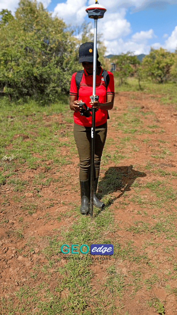
- Conducting the required field observations using appropriate surveying equipment and procedures.
- 5. Data Processing & Analysis
- Processing the survey observations and analysing the resulting spatial information.
- 6. Survey Deliverables
- Preparing the appropriate survey plans, coordinates, reports, field information or other agreed deliverables.
- 7. Further Survey Procedures
- Where required, the project may proceed through the relevant professional and statutory procedures applicable to the particular surveying assignment.
Land surveying is not simply about taking measurements. Cadastral work requires an understanding of survey records, boundary evidence, field conditions, spatial relationships and the applicable surveying procedures. Through these case studies, GeoEdge Land Surveyors demonstrates how professional surveying is applied to real property and land-related requirements across Kenya.
Need professional cadastral or land surveying support?
Contact GeoEdge Land Surveyors to discuss your project requirements.