
Turning Spatial Information into Better Development Decisions
Development decisions are closely connected to location. These are spatial questions, and Geospatial Information Systems (GIS), land surveying, remote sensing and spatial analysis can provide valuable information for answering them. At GeoEdge Land Surveyors, we combine geospatial technologies with surveying and spatial analysis to support planning, development and resource-management decisions. Our approach is not simply to produce maps. We aim to provide accurate, relevant and understandable spatial information that helps clients assess options, understand their surroundings and make better-informed development decisions.
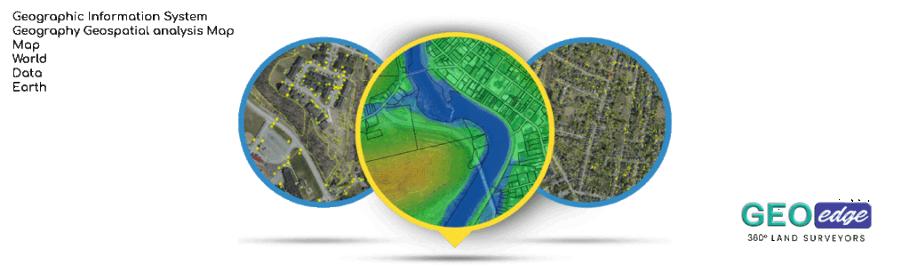
GIS
1. Land-Use Planning Support
Land-use planning involves determining how different areas of land can be appropriately used and developed while considering factors such as existing development, infrastructure, environmental conditions, accessibility and planning requirements.GIS can help planners understand the existing spatial pattern of an area and evaluate potential land-use options.
At GeoEdge Land Surveyors, we can assist with: Existing land-use mapping, Land-use and land-cover mapping, Parcel and property mapping, Development pattern analysis, Mapping of existing infrastructure, Environmental constraint mapping, Accessibility analysis, Land-use change analysis, Preparation of planning maps and Spatial analysis to support planning decisions GIS can support land-use planning by providing spatial evidence and analysis. It does not replace statutory planning processes, planning approvals or the professional responsibilities of qualified physical and land-use planners.
2. Urban and Regional Planning Support
Cities and regions are constantly changing. Population growth, new infrastructure, housing development, transport networks and changing land uses can significantly alter the spatial structure of an area. GIS provides a way of bringing these different elements together. GeoEdge supports urban and regional planning through: Urban growth mapping, Settlement mapping, Population distribution mapping, Infrastructure mapping, Road and transportation analysis, Land-use mapping, Development trend analysis, Accessibility analysis, Service-area analysis, Environmental constraint mapping and Spatial analysis of development patterns
3. Infrastructure Mapping
Infrastructure is closely connected to location. GIS can be used to map and manage infrastructure assets and understand how they relate to surrounding communities, roads, land parcels and other features. Infrastructure mapping can involve both field data collection and GIS-based mapping.
4. Environmental Spatial Analysis
Environmental conditions vary from one location to another. GIS allows different environmental datasets to be analysed together to understand spatial relationships and potential areas of concern. Environmental Spatial Analysis May Include: Vegetation analysis, Water-body mapping, Wetland mapping, Flood-prone area analysis, Terrain analysis, Slope analysis, Land-cover analysis, Environmental sensitivity mapping, Land degradation analysis and Catchment and drainage analysis Remote sensing can also provide repeated observations that help monitor environmental change over time.
At Geo Edge land surveyors, we use the available spatial evidence to identify patterns and relationships while clearly stating the limitations of the available data. GIS analysis should support professional environmental assessment not replace detailed field investigations where they are required.
5. Site Suitability Analysis
Site suitability analysis uses spatial information to identify locations that meet a defined set of criteria for a particular purpose. GIS allows factors to be analysed together. A suitability analysis is only as good as the criteria and data used.
At GeoEdge, we therefore work with the client to clearly define the purpose, criteria, data sources and assumptions before carrying out the analysis.
6. Spatial Decision Support
Spatial decision support involves using GIS, spatial analysis and other information to help decision-makers compare alternatives and understand the possible spatial implications of different choices. The objective is to make spatial information easier to understand and use.
7. Development Planning
Development planning requires an understanding of both the proposed project and the surrounding environment. Depending on the project, we can support development planning through: Site mapping, Existing-condition mapping, Topographic data integration, Land-use analysis, Infrastructure mapping, Accessibility analysis, Environmental constraint mapping, Development suitability analysis, Spatial data preparation and Map production.
Our role is to provide the spatial information and analysis needed to support the relevant planning and development professionals.
8. GIS for Natural-Resource Management
Natural resources are spatial by nature. Forests, wetlands, water bodies, agricultural land, grasslands and other natural resources are distributed across geographic areas and change over time. GIS and remote sensing can help organisations understand where these resources are located and how they are changing.
At GeoEdge land surveyors, GIS can support: Resource inventory, Resource monitoring, Environmental change detection, Land-cover mapping, Vegetation analysis, Watershed analysis, Conservation planning, Resource-use mapping and Environmental monitoring.
9. Geospatial Data Management
Geospatial data management involves organising, maintaining, documenting and managing spatial datasets so that they remain useful and reliable. Backup and version management where applicable We can help organise these different sources into a more structured geospatial environment. This makes the information easier to find, update, analyse and share.
Our Approach to Geospatial & Development Solutions
At GeoEdge, we believe that a successful geospatial project begins with understanding the decision or development problem, not with choosing a GIS tool.
Our approach follows a structured process.
- Understand the Project Objective; This helps us avoid producing maps that look good but do not answer the client’s actual question.
- Define the Area of Interest; We establish the geographic extent of the project. Defining the study area helps determine the appropriate data sources and analytical methods.
- 3. Identify the Required Data; Depending on the project, we use the appropriate data. Where appropriate, we also identify gaps in the available data.
- 4. Collect and Prepare the Data; Data from different sources may use different formats, coordinate systems, scales or levels of accuracy.This helps ensure that different datasets can be analysed together correctly.
- 5. Define the Analysis Criteria; For projects such as site suitability or spatial decision support, we work with the client to establish the criteria that matter.The criteria should be based on the actual purpose of the project rather than arbitrary assumptions.
- 6. Carry Out Spatial Analysis; We apply appropriate GIS techniques to the prepared data.The method depends on the question being answered.
- 7. Integrate Surveying, GIS and Remote Sensing; Where appropriate, we combine different sources of spatial information. This integrated approach is particularly useful where decisions depend on both accurate site information and broader surrounding conditions.
- 8. Validate and Quality-Control the Results; Where appropriate, field observations or independent reference data can be used to validate the results.
- 9. Communicate the Results Clearly; Technical GIS analysis is only useful if the client can understand the results. We explain the findings in clear language and distinguish between what the data shows, what the analysis indicates and what requires further professional or statutory assessment.
Why Geospatial Solutions Matter
A map on its own provides information about location. A properly analysed geospatial dataset can provide much more. These insights can support better planning, more efficient resource management and more informed development decisions.
At GeoEdge Land Surveyors, our goal is to bridge the gap between raw spatial data andpractical decision-making. We combine land surveying, GIS, remote sensing, digital mapping and spatial analysis to develop solutions suited to each project’s objectives.
Whether you need land-use planning support, urban and regional planning support, infrastructure mapping, environmental spatial analysis, site suitability analysis, spatial decision support, development planning, natural-resource mapping or geospatial data management, we focus on delivering information that is accurate, understandable and useful.