
Land Subdivision in Birika, Kajiado County: 5-Acre Parcel in Kipeto, Birika
Project Overview
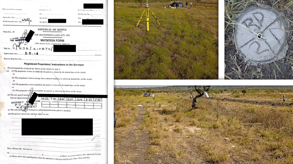
GeoEdge Land Surveyors undertook a land subdivision survey for a 5-acre parcel of land in Birika, Kipeto, Kajiado County.
The assignment involved the professional survey work required to subdivide the original parcel into clearly defined resultant parcels. The work included reviewing the available property and survey information, undertaking field measurements, verifying the existing property boundaries and establishing the information required for the subdivision and preparation of the relevant survey documentation.
The project demonstrates the role of professional land surveying in transforming an existing parcel into accurately defined subdivision parcels while maintaining proper spatial and survey information throughout the process.
Project Location: Birika, Kipeto, Kajiado County
Project Area: Approximately 5 acres
Primary Service: Land Subdivision Survey
Survey Category: Cadastral & Land Surveying
Project Status: Completed
CLIENT’S SURVEY REQUIREMENT
The purpose of the assignment was to subdivide the approximately 5-acre parcel into defined resultant parcels in accordance with the client’s requirements and the applicable land surveying procedures.
GeoEdge’s role was to provide the cadastral survey work necessary to establish the subdivision on the ground, obtain the required measurements, define the proposed parcels and prepare the relevant survey information and documentation.
The survey process required both fieldwork and office-based technical work, ensuring that the proposed subdivision was supported by accurate measurements and appropriate survey documentation.